Ordnance Survey is a household name in the UK, synonymous with mapping and navigation. But how much do you really know about its incredible two-centuries-worth of history? This blog post will take an in-depth look into the origins of Ordnance Survey, tracing back its roots to a Royal Military Academy founded over 200 years ago by King George III, through to the innovation today which puts OS at the cutting edge of GPS technology. Through this comprehensive review you’ll come away with a greater appreciation for Britain’s oldest mapping agency and discover why it continues to stand as one of nation’s most admirable public institutions.
Early Years of Ordnance Survey
In order to provide precise maps for military use, Ordnance Survey was established in 1791. The Napoleonic Wars and the French Revolutionary Wars served as a spotlight on the value of mapping in battle since commanders relied on accurate maps to formulate their plans. Early on, Ordnance Survey concentrated on producing thorough maps of key places and border regions.
The initial Ordnance Survey maps were extremely accurate and marked a substantial advancement over preceding maps. They were based on a triangulation system, which required establishing a network of reference points by calculating the angles between landmarks. As a result, surveyors were able to produce precise maps of the terrain, including its hills, valleys, and canals. Although the accuracy of these maps was crucial for military use, they also proved useful for civilian use because they facilitated more effective trade and transportation.

Expansion and Innovation
Through the late 19th and early 20th centuries, Ordnance Survey kept growing and developing new technologies. The organisation started creating maps in 1841 at a scale of six inches to the mile, which offered even more information than the earlier one-inch maps. The organisation was made the exclusive official mapping authority in Great Britain by the Ordnance Survey Act of 1841.
Contoured lines were added to Ordnance Survey’s maps in the late 19th century, enabling a three-dimensional portrayal of the environment. Following this breakthrough, relief shading and the use of colour to depict various terrain types were introduced.
Ordnance Survey started employing aerial photography to support its mapping work in the early 20th century. This made it possible to produce maps that were more precise and in-depth, especially in regions with challenging topography. Ordnance Survey maps were heavily utilised by the military for planning and navigation throughout World War II, demonstrating the organization’s continued significance to national security.

Role in World War II and Beyond
Maps from Ordnance Survey were essential for the D-Day invasion and other military operations during World War II. In order to increase the precision and fine detail of their maps, the organisation continued to innovate in the years following World War II. The advent of digital mapping, which made it possible to produce and distribute maps more quickly and accurately, was one significant improvement.
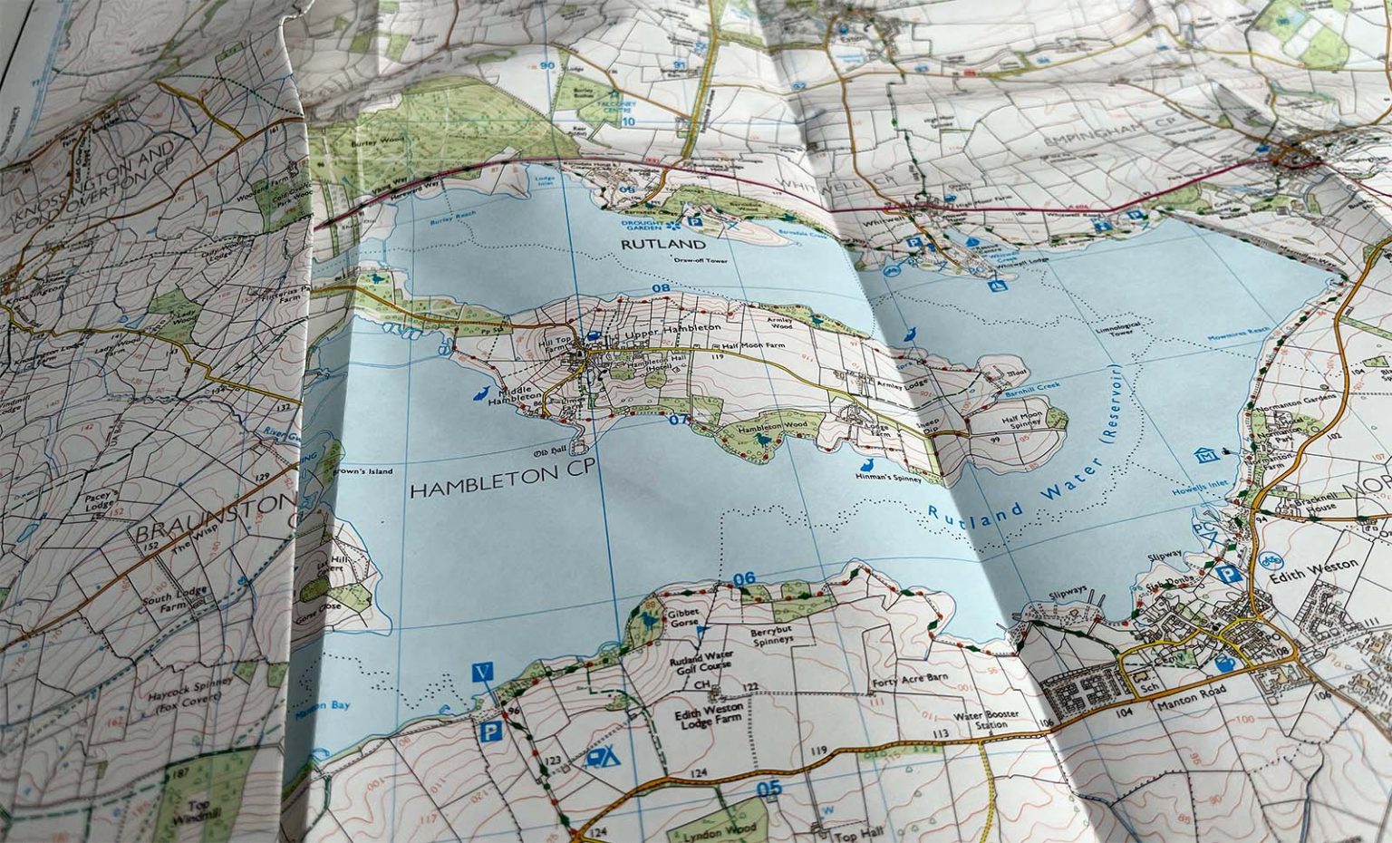
Ordnance Survey, one of the top mapping companies today, is renowned for its precision and attention to detail. From hikers and outdoor lovers to governmental organisations and emergency services, a wide variety of people and organisations use its maps. In order to increase the utility and accessibility of its maps for users all around the world, the organisation keeps innovating by creating new mapping tools and technologies.
The Bottom Line
Established in 1791, Ordnance Survey has a long and significant history of mapping the UK. It is unrivaled in its accuracy and has contributed immensely to the development of the country, providing vital information for building transportation networks, infrastructure, and more. Though it began as a military initiative in response to the French Revolutionary and Napoleonic Wars, its maps have since played a crucial role in various fields. The early Ordnance Survey maps were noteworthy for their precision and astuteness. Today, Ordnance Survey continues to be a leading figure in mapping, providing innovative cataloguing and mapping services that contribute to the development of the nation.
